Rand McNally
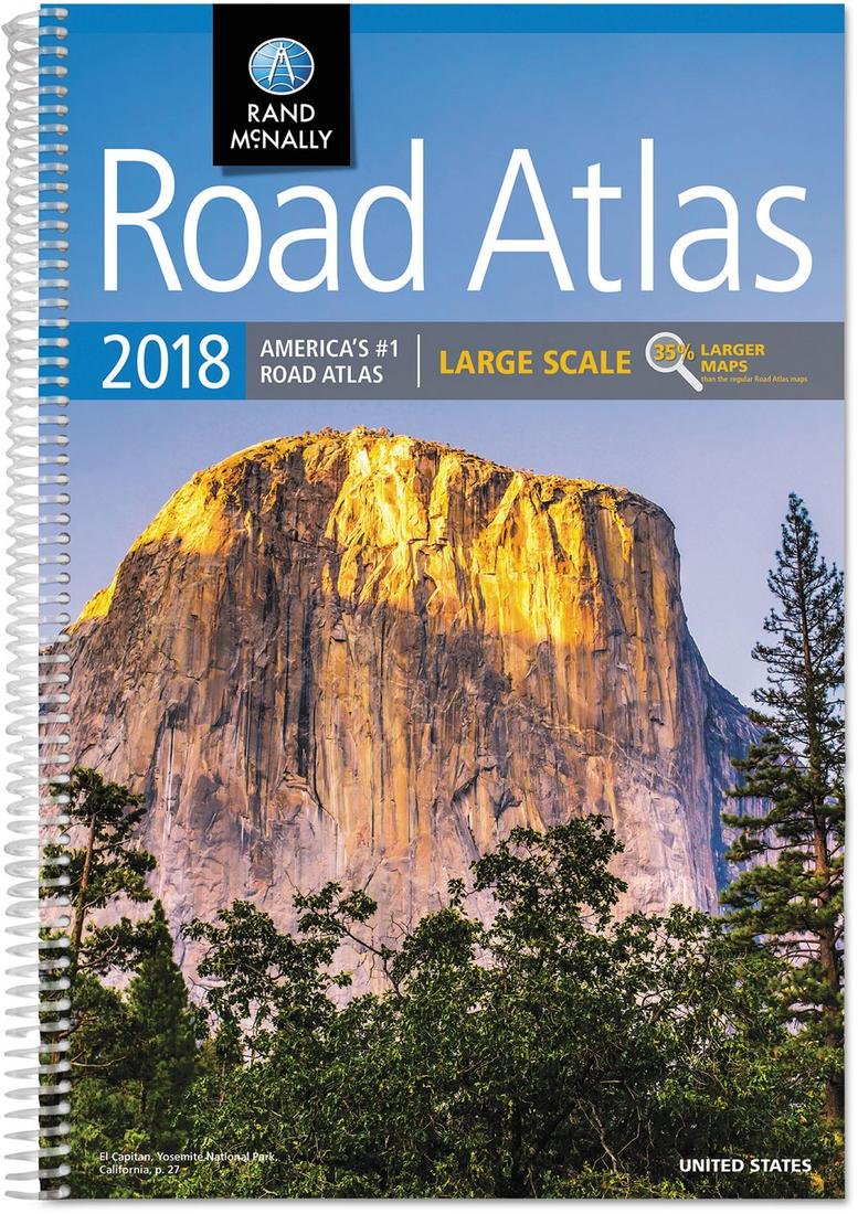
2018 Rand McNally Large Scale Road Atlas: Lsra
Regular price
$9.95 USD
Regular price
Sale price
$9.95 USD
Unit price
per
Shipping calculated at checkout.
Couldn't load pickup availability
Title: 2018 Rand McNally Large Scale Road Atlas: Lsra
Author: Rand McNally
ISBN: 9780528017391
Publisher: Rand McNally
Published: 2017
Binding: Paperback
Language: English
Edition: Spi
Number of Pages: 264
Condition Note: Moderate edge wear. Binding good. May have marking in text. We sometimes source from libraries. We ship in recyclable American-made mailers. 100% money-back guarantee on all orders.
Publisher Description: Give road-weary eyes a break with this spiral-bound Large Scale edition featuring all the accuracy you've come to expect from Rand McNally, only bigger. Updated atlas contains maps of every U.S. state that are 35% larger than the standard atlas version plus over 350 detailed city inset and national park maps and a comprehensive, unabridged index. Road construction and conditions contact information for every state conveniently located above the maps. Contains mileage chart showing distances between 77 North American cities and national parks with driving times map. Tough spiral binding allows the book to lay open easily.