Arrow Map
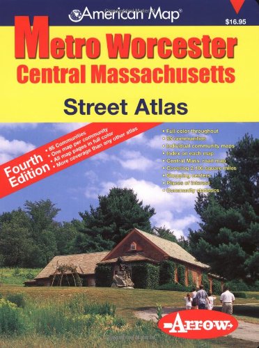
Metro Worcester Central Massachusetts Street Atlas
Regular price
$7.95 USD
Regular price
Sale price
$7.95 USD
Unit price
per
Shipping calculated at checkout.
Couldn't load pickup availability
Title: Metro Worcester Central Massachusetts Street Atlas
Author: Arrow Map
ISBN: 1557512337
Publisher: Arrow Map
Published: 2005
Binding: Paperback
Language: English
Edition: 4th
Number of Pages: 168
Condition Note: Clean, unmarked copy with some edge wear. Good binding. Dust jacket included if issued with one. We ship in recyclable American-made mailers. 100% money-back guarantee on all orders.
Publisher Description: Large scale atlas with street level detail includes city & town statistics, community profiles, individual community maps, index on corresponding map pages, zip codes, a Central Massachusetts Highway Map, places of interest and street map coverage of 85 communities in Worcester County and parts of Franklin, Hampshire, Hamden and Middlesex Counties. Areas included in this atlas are Ashby, Athol, Blackstone, Bolton, Boylston, Brookfield, Charlton, Clinton, Douglas, Dudley, Dunstable, Fitchburg, Gardener, Grafton, Groton, Hardwick, Harvard, Hopkinton, Hubbardston, Leominster, Mendon, Millbury, Milville, Monson, Oakham, Oxford, Palmer, Paxton, Royalston, Shrewsbury, Spencer, Sterling, Sutton, Templeton, Warren, Warwick and Webster.