Hydrographic Office, United States Navy, Washington, D.C.
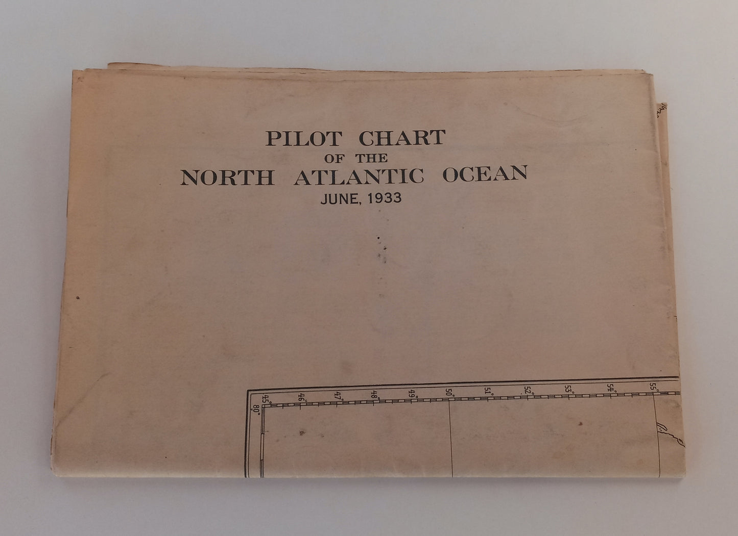
Pilot Chart of the North Atlantic Ocean, June 1933
Regular price
$150.00 USD
Regular price
Sale price
$150.00 USD
Unit price
per
Shipping calculated at checkout.
Couldn't load pickup availability
Title: Pilot Chart of the North Atlantic Ocean, June 1933
Author: U.S. Navy Hydrographic Office and Secretary of the Navy
Publisher: Hydrographic Office, United States Navy, Washington, D.C.
Published: 1933
Binding: Paperback
Language: English
Number of Pages: 1
Catalogs: Maps, Vintage Technical, Transportation
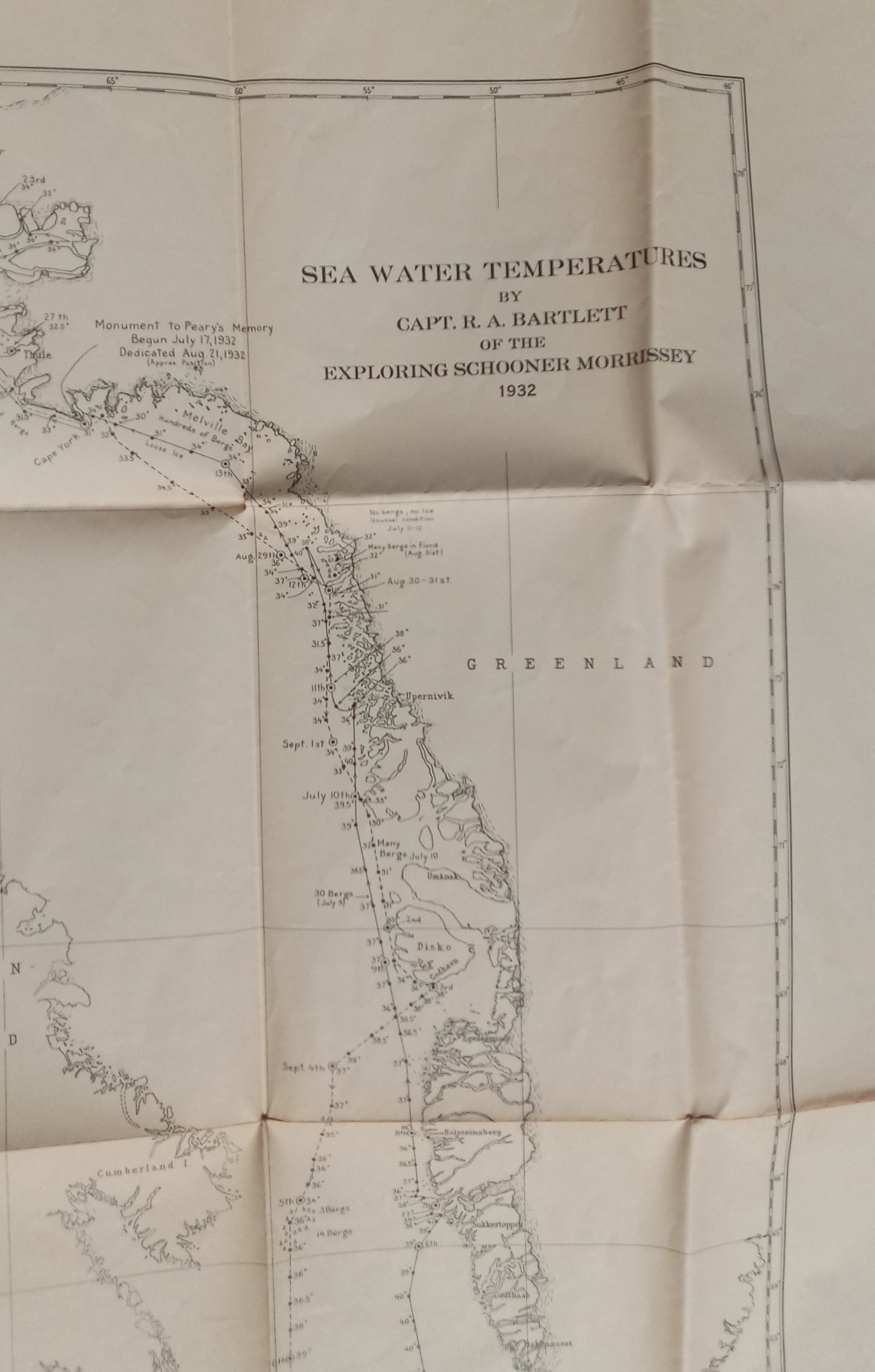
Description: Heavy paper map. No. 1400. Tanned but unmarked, two-sided. Outward facing map shows black and white map of Greenland, Baffin Land, Labrador, and the Hudson Strait with sea water temperatures by Capt. R. A. Bartlett of the exploring schooner Morrissey from 1932. Opposing side is the pilot chart in four colors (black, red, yellow, and blue) showing the whole North Atlantic Ocean. This side contains sailing and lane routes, currents, average conditions of wind and weather during June, June storm tracks from prior years, weather reports from ships encountering tropical storms, and more. Folding paper map, very good condition. Height 25 inches; width 38 inches.
Author: U.S. Navy Hydrographic Office and Secretary of the Navy
Publisher: Hydrographic Office, United States Navy, Washington, D.C.
Published: 1933
Binding: Paperback
Language: English
Number of Pages: 1
Catalogs: Maps, Vintage Technical, Transportation
Description: Heavy paper map. No. 1400. Tanned but unmarked, two-sided. Outward facing map shows black and white map of Greenland, Baffin Land, Labrador, and the Hudson Strait with sea water temperatures by Capt. R. A. Bartlett of the exploring schooner Morrissey from 1932. Opposing side is the pilot chart in four colors (black, red, yellow, and blue) showing the whole North Atlantic Ocean. This side contains sailing and lane routes, currents, average conditions of wind and weather during June, June storm tracks from prior years, weather reports from ships encountering tropical storms, and more. Folding paper map, very good condition. Height 25 inches; width 38 inches.